ISRO's HySIS satellite sends first image, covering parts of Lakhpat area in Gujarat
The country's latest earth observation satellite HySIS, launched by the ISRO on November 29, has sent its first image, covering parts of Lakhpat area in Gujarat.

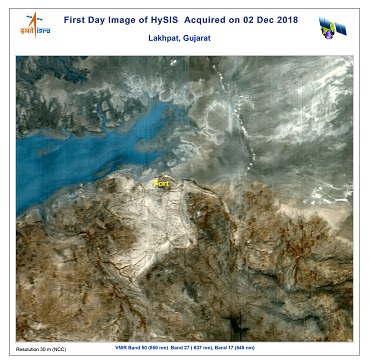
Caption: The 1st Day image from the Hyperspectral Imaging Satellite HYSIS, was acquired at NRSC Hyderabad on 02 December 2018, covering parts of Lakhpat in Gujarat. The sample colour composite image represents VNIR spectral bands. Photo: ISRO.

BENGALURU (PTI): The country's latest earth observation satellite HySIS, launched by the ISRO on November 29, has sent its first image, covering parts of Lakhpat area in Gujarat.
The image from Hyperspectral imaging satellite (HySIS), which can be used in wide-ranging areas including agriculture, soil survey and environmental monitoring, was acquired at the National Remote Sensing Centre on Sunday, the ISRO said.
Sources in the city-headquartered Indian Space Research Organisation (ISRO) said the agency was satisfied with the quality of the image sent by HySIS.
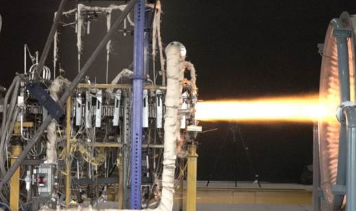
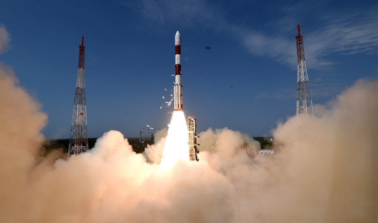
The satellite, along with 30 other international co-passenger spacecraft, was injected into the orbit by the PSLV-C43 rocket from the Satish Dhawan Space Centre in Sriharikota on November 29.
The 380-kg HySIS is meant to study the earth's surface in the visible, near infrared and shortwave infrared regions of the electromagnetic spectrum.
The image from Hyperspectral imaging satellite (HySIS), which can be used in wide-ranging areas including agriculture, soil survey and environmental monitoring, was acquired at the National Remote Sensing Centre on Sunday, the ISRO said.
Sources in the city-headquartered Indian Space Research Organisation (ISRO) said the agency was satisfied with the quality of the image sent by HySIS.
The satellite, along with 30 other international co-passenger spacecraft, was injected into the orbit by the PSLV-C43 rocket from the Satish Dhawan Space Centre in Sriharikota on November 29.
The 380-kg HySIS is meant to study the earth's surface in the visible, near infrared and shortwave infrared regions of the electromagnetic spectrum.