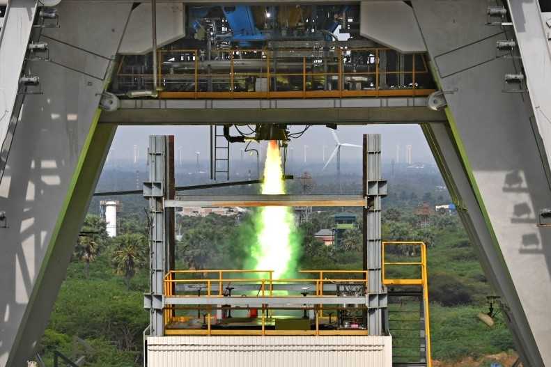
 Previous Article
 Next Article
GOCE in orbit. An ESA photo
PARIS (BNS): ESA’s GOCE satellite has reached its ambitious goal of mapping Earth's gravity with unprecedented precision.
In two short years, the sophisticated satellite has collected the measurements needed to record the 'geoid' reference shape of our planet, ESA said.
The geoid is the shape of an imaginary global ocean dictated by gravity in the absence of tides and currents. It is a crucial reference for accurately measuring ocean circulation, sea-level change and ice dynamics – all affected by climate change.
The planned mission of the Gravity field and steady-state Ocean Circulation Explorer (GOCE) satellite, launched in March 2009, included two six-month measurement periods. On 2 March it completed its 12th month of gravity-field mapping.
The data will be calibrated and processed for scientists to create a unique model of the geoid, ESA said.


The Indian Air Force, in its flight trials evaluation report submitted before the Defence Ministry l..
view articleAn insight into the Medium Multi-Role Combat Aircraft competition...
view articleSky enthusiasts can now spot the International Space Station (ISS) commanded by Indian-American astr..
view article