
The map of Northern and Western India taken by Oceansat-2. Image credit: ISRO
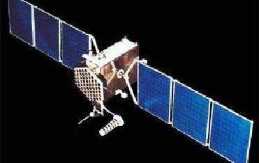
NEW DELHI (BNS): Indian�s latest remote sensing satellite Oceansat-2 has started relaying good quality images of the Earth and is working satisfactorily, the Indian Space Research Organisation has said.
The three payloads onboard the 970-kg satellite � Ocean Colour Monitor, Scatterometer and Radio Occultation Sounder for Atmospheric Studies � have been turned on and they have been providing good quality data, ISRO said in a statement on Monday.
The Ocean Colour Monitor � a multi-spectral imaging radiometer, will provide information on chlorophyll concentration, and help locating potential fisheries zones.
The Scatterometer, an active microwave sensor, will facilitate retrieval of sea-surface wind speed and direction, and monitor polar sea ice. The Radio Occultation Sounder will measure parameters pertaining to lower atmosphere and ionosphere.
Data provided by different sensors on-board the satellite will also facilitate monitoring of turbidity and suspended sediments, sea-state and sea-surface winds, and meteorological/climatological studies.
The satellite collects data over the entire globe once in two days, the space agency said.
Oceansat-2 was launched along with six other nano satellites on September 23 onboard ISRO�s PSLV-C14 rocket from the Satish Dhawan Space Centre at Sriharikota, Andhra Pradesh.
The nano satellites, between two and eight kg range, are educational spacecraft from European Universities intended to test new technologies.
 Previous Article
 Next Article










The Indian Air Force, in its flight trials evaluation report submitted before the Defence Ministry l..
view articleAn insight into the Medium Multi-Role Combat Aircraft competition...
view articleSky enthusiasts can now spot the International Space Station (ISS) commanded by Indian-American astr..
view article