 Previous Article
 Next Article
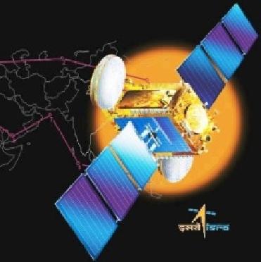
An artist's conception of Cartosat-2B. ISRO photo
BANGALORE (BNS): Indian Space Research Organisation (ISRO) has started receiving high-quality images from the advanced remote sensing satellite Cartosat-2B.
The satellite is “working satisfactorily. The initial phase of operations of the satellite has been successfully completed. The camera has been switched on, and images of high quality are being received,” ISRO said on Wednesday.
The space agency had successfully launched Cartosat-2B – the 17th remote sensing satellite of India – into orbit onboard a Polar Satellite Launch Vehicle on July 12.
The 694-kg Cartosat-2B has been designed to augment remote sensing data services to the users of multiple spot scene imagery. Such services are presently being provided by Cartosat-2 and 2A satellites.
Cartosat-2B carries a panchromatic camera similar to that of the Cartosat-2 and 2A, and is capable of imaging a swath (geographical strip of land) of 9.6 km with a resolution of 0.8 metre.
The multiple spot scene imagery sent by Cartosat-2B camera would also be useful for village/cadastral level resource assessment and mapping, detailed urban and infrastructure planning and development, transportation system planning, preparation of large-scale cartographic maps, preparation of micro watershed development plans and monitoring of development works of village.


The Indian Air Force, in its flight trials evaluation report submitted before the Defence Ministry l..
view articleAn insight into the Medium Multi-Role Combat Aircraft competition...
view articleSky enthusiasts can now spot the International Space Station (ISS) commanded by Indian-American astr..
view article