 Previous Article
 Next Article
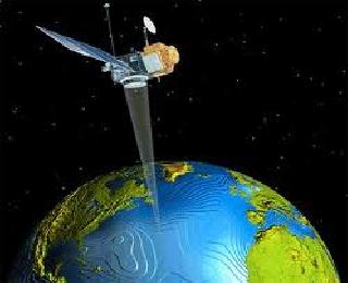
BANGALORE (PTI): The IndianGovernment has unveiled a new Remote Sensing Data Policy, opening up the sector and removing certain restrictions to facilitate more users to access high resolution data for developmental activities, a top Space official said.
The earlier policy that allowed all data of resolutions up to 5.8 metres to be distributed on non-discriminatory and 'as requested' basis by ISRO has been brought down to up to one metre, K Radhakrishnan, Secretary in the Department of Space, said.
Radhakrishnan, also Chairman of ISRO and Space Commission, said the Remote Sensing Data Policy (RSDP), 2011 liberalises and opens up the sector and would see more people getting data.
Restrictions as per the earlier policy, enunciated in 2001, have been removed, he said, adding that now, there is no bar on publishing of high resolution, remote sensing data of up to one metre resolution.
According to RSDP-2011, all data of better than one metre resolution, however, shall be screened and cleared by the appropriate agency prior to distribution with a view to protect national security interests.
Government users such as ministries, departments, public sector, autonomous bodies, government R & D institutions, government educational and academic institutions can now obtain better than one metre resolution data without any further clearance.
Private sector agencies supporting development activities, recommended by at least one government agency, can obtain data without further clearance while other private, foreign and other users including web-based service providers can do so from an inter-agency High Resolution Image Clearance Committee (HRC) already in place.
Radhakrishnan pointed out that at the time of framing the 2001 policy, "the best available resolution to us was 5.8 metres through IRS-1C and IRS-ID".
But thereafter, ISRO launched Cartosat-1 which gave 2.5 metres resolution data and Cartosat-2 series which gave 0.8 metres resolution data.
"Cartosat-2 data will (now) be available to the people," he said, noting that high resolution data is required for infrastructure planning and other development activities.
Radhakrishnan said while Google covers some parts of the country, there are problems with the high resolution images offered by it in terms of "latency of data and how up-to-date they are".
Among other factors, the new policy has taken into consideration the recent availability of very high-resolution images from foreign and commercial remote sensing satellites and the need for proper and better management of the data acquisition and distribution from these satellites in India.


The Indian Air Force, in its flight trials evaluation report submitted before the Defence Ministry l..
view articleAn insight into the Medium Multi-Role Combat Aircraft competition...
view articleSky enthusiasts can now spot the International Space Station (ISS) commanded by Indian-American astr..
view article