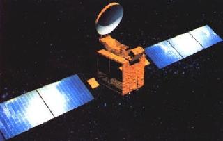
An unrelated photo of a Chinese satellite
BEIJING (PTI): China has successfully launched its first high resolution, stereoscopic mapping satellite for accurate surveys of its land resources.
The satellite 'Mapping Satellite-I', which was launched Tuesday on a Long March 2-D carrier rocket from the northwestern Jiuquan Satellite Launch Centre at 3:10 pm (local time), has successfully entered into the preset orbit, the centre said.
The civilian use of the satellite will start in the second half of 2011.
The launch came just in two months of successfully transporting a navigation satellite, its fourth orbiter, into space.
Mapping Satellite-I, developed by a company under the China Aerospace Science and Technology Corporation (CASC), would be mainly used to conduct scientific experiments, carry out survey on land resources and mapping, said a statement posted on Ministry of National Defence website.
The remote sensing information and test results from the satellite would promote the country's scientific research and economic development, it said.
The launch was the 128th for China's Long March series of rockets since April 24, 1970, when a Long March-1 rocket successfully sent the country's first satellite Dongfanghong-1 into the space.


The Indian Air Force, in its flight trials evaluation report submitted before the Defence Ministry l..
view articleAn insight into the Medium Multi-Role Combat Aircraft competition...
view articleSky enthusiasts can now spot the International Space Station (ISS) commanded by Indian-American astr..
view article